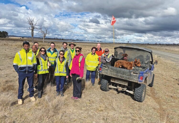
Innovative Research Balances Solar Farm Needs and Grazing Requirements
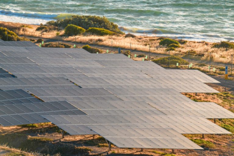
CSIRO and Macquarie University are teaming up with ACEN Australia to address the intricate balance of fire risk, grazing requirements, and insurance obligations at the New England Solar site in New South Wales.
For both insurers and operators, the conditions beneath a solar array hold significant importance, impacting maintenance, grazing, and insurance considerations. Factors such as grass height, moisture content, and biomass must all be closely monitored.
Enhancing Operations with Advanced Technology
The collaboration at ACEN Australia’s New England Solar involves utilising satellite-based remote sensing and artificial intelligence (AI) to refine vegetation management, boost fire preparedness, and optimise daily operations. CSIRO’s senior photovoltaic scientist, Kenrick Anderson, emphasised the challenge of balancing conflicting demands. “On one hand, solar farms seek to maintain lower grass levels to diminish fire risks and satisfy insurers. Conversely, farmers leasing the land desire taller grass for livestock grazing,” he noted.
Moreover, taller grass is beneficial for mitigating the risk associated with barber’s pole worm, a deadly parasite prevalent in Queensland and northern New South Wales.
“Industries endeavour to reach an equilibrium in grass length that satisfies insurers and fire services, while also supporting livestock health and productivity amid increasingly severe droughts and rainfall events,” Anderson added.
A Shift from Manual Assessments
Traditionally, grass conditions have been assessed using manual methods. “Technicians would conduct on-site inspections, rating grass length on a simplistic scale from 1 to 4,” explained CSIRO principal research scientist, Dr Cindy Ong. “This method is limited, subjective, and prone to human error.” Not only are these manual evaluations time-consuming, as Anderson pointed out, but they can be impractical over extensive areas; New England Solar spans 2000 hectares, making a thorough inspection a daunting task.
The aim of the current research is to establish an innovative, quantitative, and repeatable approach to vegetation mapping using a combination of satellites, airborne data, and field measurements that can be routinely updated.
Utilising Advanced Imaging Techniques
Nona Sepahrom, a CSIRO Industry PhD student from Macquarie University, is spearheading this project, leveraging hyperspectral imagery from Germany’s EnMAP satellite to assess vegetation on a biochemical level. “This detailed analysis allows utility-scale solar operators to differentiate between green, moist biomass and dry, combustible materials, and to monitor their distribution around critical infrastructure, such as transformers and cabling,” Dr Ong commented.
This biochemical insight can significantly inform fire risk assessments and assist farmers in improving their grazing strategies while collaborating with solar farm operators to manage both vegetation health and fire risk effectively.
Dynamic Data for Informed Decision-Making
By correlating field samples with satellite data, Sepahrom is constructing a comprehensive view of the New England Solar site. “I will integrate laboratory and satellite insights to categorise different vegetation types across the solar farm,” she revealed. “By analysing seasonal changes, I can identify which areas are experiencing dryness, thus elevating bushfire risk.”
Understanding the influence of historical and current weather patterns is crucial, as factors like precipitation, temperature, wind, and sunlight all affect vegetation growth, adding another layer of data for the AI model.
Real-Time Monitoring and Future Prospects
The outcome of this research will produce detailed maps and models illustrating vegetation health, biomass levels, moisture content, and fire risk ratings throughout the solar farm, which will vary over time. These insights will indicate which areas are more susceptible to bushfires and highlight where grazing or maintenance interventions are necessary.
Anderson envisions that these sophisticated models will ultimately become integral to solar farm management systems, allowing operators to visualise real-time vegetation conditions and evolving fire risks. “This would empower operators to make informed decisions promptly,” he stated.
Setting a Precedent for Sustainable Practices
This project is not solely relevant to ACEN Australia’s New England Solar site; the overarching issue of managing vegetation, fire risks, and grazing co-existence is pertinent across the renewable energy sector. As Anderson noted, this concern resonated with many solar farm operators, suggesting that such solutions could be beneficial for other utility-scale solar and wind operations.
ACEN Australia’s managing director, David Pollington, believes the project can set a vital precedent for the broader Australian renewable energy sector. “We aim to bolster confidence in agrivoltaics and the integration of livestock grazing as sustainable land management strategies. This initiative showcases how collaborative efforts with landholders can yield substantial benefits for agricultural businesses while facilitating simultaneous solar energy production,” he stated.
For Sepahrom, the application of remote sensing represents both a technical revolution and a shift in perspective. “It feels as if I’m soaring over the solar farm, allowing me to visualise everything from one vantage point instead of traditionally combing the site for data,” she remarked. Such an overview may become essential in navigating the challenges posed by rising temperatures and shrinking margins, ultimately aiding in the satisfaction of operators, farmers, and insurers alike.